


The Hills and Outdoors thread
- Replies 301
- Views 113k
- Created
- Last Reply


Most Popular Posts
-
Biggest island of the small isles,but only about 40 inhabitants who mostly live in Kinloch the harbour village.The rest of the island probably too rough or exposed id say.Fantastic mountains.Not huge,
-
Nothing to add to the fitba thread.Done a few more sections of the coastal route.Newtonhill to Muchalls was a bit dour.Muchalls to Stoney was brilliant.Lots of twists,turns and surprises on the way.
-
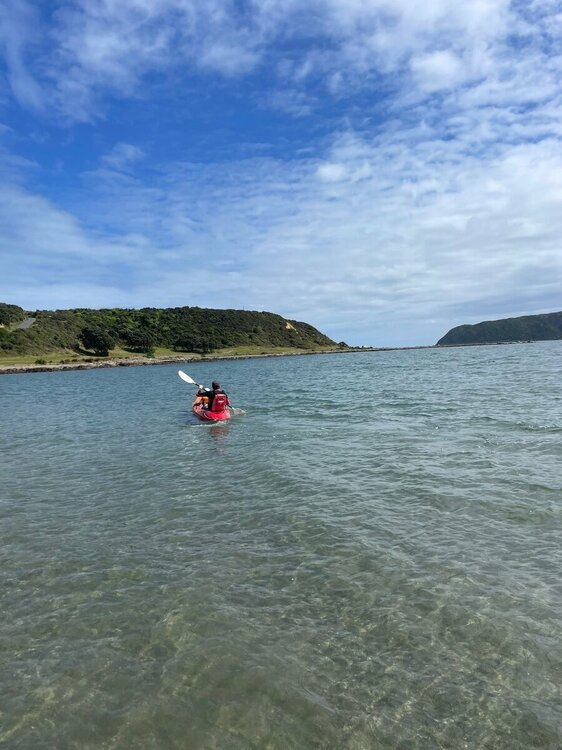
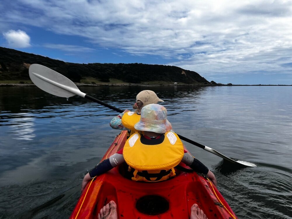
Finally made it out on the mountain bike after probably nearly a year and a bit. All the stars aligned which meant I could make it to Makara which is west of Wellington. Good gruelling 1hr long ride u
A wee thread for your outdoor pursuits.routes up local and further afield hills and mountains, low level walks,mountain bike trails,wild camping,ski reports.Anything else outdoorsy that others may want to mention/recommend.
My thing is hill walking mainly,with a bit of skiing now and again.Ill start things off with a few routes of hills of varying difficulty, starting with the toughest,from the South Cairngorms
1) Bheinn A Ghlo,Carn A Chlamain,Beinn Dearg,Carn an Fhidlier,An Sgarsoch
The approach route i took for these hills can also be done as a low level walk,or mountain bike route without doing the hills. Starts at the Linn of Dee,5 miles beyond Braemar,and carries on through to Blair Atholl at the far end.Takes you through some of the furthest from civilisation landscape in the UK.
My plan was to bike and walk in on an evening, to just beyond the Falls of Tarf (at the side of the river Tilt),set up camp and do the west side Munroes the next day,and then Beinn A Ghlo's 3 munroes on day 2, and then back out
Parked at the Linn of Dee,and followed a good low level track to white bridge,where it splits in 2.Took the route South over the bridge,and past Bynack lodge,all the way to the falls of Tarf.
I should point out that,cycling absolutely kills me. I never normally cycle anywhere, except a couple times a year to get to some hills.Any gradient at all and I need to come off and push.This route was pretty reasonable all the way to around Loch Tilt
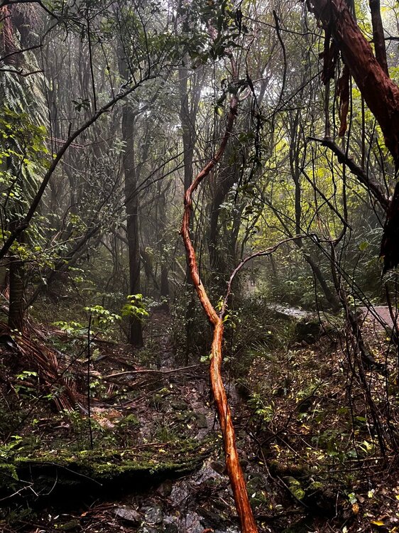
Track near Bynack to give an idea of terrain.Easy biking /walking,great sense of space around here
Track near the Falls of Tarf.Pushed the bike at this stage,though a regular M/biker would breeze it.Easy enough walking.
I set up camp at the start of a track at,OS - 972,775 (Braemar/Blair Atholl map),took about 2 hrs to reach here,appx 2/3 bike,1/3 hike.
In the morning,followed the track that heads towards a sheiling/old building on the edge of the Tarf water,and headed up An Sgarsoch first(initially a bit rough),then over to nearby Carn an Fhidlhier.From there over to Beinn Dearg,round by the west side of Loch Mairc,and up Carn A Chlamain,before heading for the track on Braigh choire na Conlaich back to the tent.
A long summer day needed
Day 2 was the Beinn A Ghlo route, starting from the tent,down Glen Tilt to the bridge at Marble Lodge.From there,make way up Carn Liath,the first Munro,along to Braigh Coire Chruinn bhalgain,the second,and then to Carn nan Gabhar.From there head down to Meall A Mhuirich, looking out for a stalkers path to help you down to Glen Tilt and aiming for the bridge across the Tilt river,around 3km above Forest lodge
.An Sgorsach and Carn an Fhidhlier can be done seperately by following the same route initially,but turning up the track at the Geldie burn,past Geldie Lodge,where a path leads you on to Carn an Fhidhlier,over to An Agarsoch,and back to the Geldie Burn/Linn of Dee.
If not doing An Sgarsoch/Carn an Fhidhlier,the other hills are best planned from the Bridge of Atholl side.
Glen Tilt,a very attractive glen
2) Geallaig hill - 743m
An easier hill,just past Ballater on the road to Braemar.The tourist route for this one is a rather drab track from the north side,but can be done from the South via this route.
Park at the first car park on the right,just after the Coilecreich Inn.walk west along the road until you come out from the trees.There is a wooden gate on your right hand side.Go over that,and follow the grassy track up hill,which becomes more of a vehicle track further up.About two thirds of the way up the track seems to veer away from the summit,but a path appears,and takes you on to the top.
Good views of Lochnagar and Upper Deeside. 1 or 2 hrs up and the same down depending on fitness
3) Millstone hill - 408m
And a good starter hill on the south side of Bennachie.Parked at the Donview visitor centre near Blairdaff with good paths all the way.Took about an hour up,hour doon with a couple of 7 year olds.Theres also a link path from the summit over to the South top of Bennachie.
Nice Aberdeenshire landscapes en route,and some nice spots along the river Don nearby,...which is nice
EDIT - A link to a map which you can zoom in for more detail.Sometimes shows paths not seen on an OS map
http://www.hill-bagging.co.uk/search.php?ct=SEWM