


Skip to content

The Hills and Outdoors thread

A wee thread for your outdoor pursuits.routes up local and further afield hills and mountains, low level walks,mountain bike trails,wild camping,ski reports.Anything else outdoorsy that others may want to mention/recommend.


  My thing is hill walking mainly,with a bit of skiing now and again.Ill start things off with a few routes of hills of varying difficulty, starting with the toughest,from the South Cairngorms


1)      Bheinn A Ghlo,Carn A Chlamain,Beinn Dearg,Carn an Fhidlier,An Sgarsoch


The approach route i took for these hills can also be done as a low level walk,or mountain bike route without doing the hills. Starts at the Linn of Dee,5 miles beyond Braemar,and carries on through to Blair Atholl at the far end.Takes you through some of the furthest from civilisation landscape in the UK.


My plan was to bike and walk in on an evening, to just beyond the Falls of Tarf (at the side of the river Tilt),set up camp and do the west side Munroes the next day,and then Beinn A Ghlo's 3 munroes on day 2, and then back out


Parked at the Linn of Dee,and followed a good low level track to white bridge,where it splits in 2.Took the route South over the bridge,and past Bynack lodge,all the way to the falls of Tarf.

  I should point out that,cycling absolutely kills me. I never normally cycle anywhere, except a couple times a year to get to some hills.Any gradient at all and I need to come off and push.This route was pretty reasonable all the way to around Loch Tilt


Track near Bynack to give an idea of terrain.Easy biking /walking,great sense of space around here


IMG_2240_zpshyibjhhu.jpg


Track near the Falls of Tarf.Pushed the bike at this stage,though a regular M/biker would breeze it.Easy enough walking.


IMG_2250_zpsqequ0hl7.jpg


I set up camp at the start of a track at,OS - 972,775 (Braemar/Blair Atholl map),took about 2 hrs to reach here,appx 2/3 bike,1/3 hike.

  In the morning,followed the track that heads towards a sheiling/old building on the edge of the Tarf water,and headed up An Sgarsoch first(initially a bit rough),then over to nearby Carn an Fhidlhier.From there over to Beinn Dearg,round by the west side of Loch Mairc,and up Carn A Chlamain,before heading for the track on Braigh choire na Conlaich back to the tent.

  A long summer day needed


Day 2 was the Beinn A Ghlo route, starting from the tent,down Glen Tilt to the bridge at Marble Lodge.From there,make way up Carn Liath,the first Munro,along to Braigh Coire Chruinn bhalgain,the second,and then to Carn nan Gabhar.From there head down to Meall A Mhuirich, looking out for a stalkers path to help you down to Glen Tilt and aiming for the bridge across the Tilt river,around 3km above Forest lodge


  .An Sgorsach and Carn an Fhidhlier can be done seperately by following the same route initially,but turning up the track at the Geldie burn,past Geldie Lodge,where a path leads you on to Carn an Fhidhlier,over to An Agarsoch,and back to the Geldie Burn/Linn of Dee.

  If not doing An Sgarsoch/Carn an Fhidhlier,the other hills are best planned from the Bridge of Atholl side.

Glen Tilt,a very attractive glen


2)  Geallaig hill - 743m


An easier hill,just past Ballater on the road to Braemar.The tourist route for this one is a rather drab track from the north side,but can be done from the South via this route.

  Park at the first car park on the right,just after the Coilecreich Inn.walk west along the road until you come out from the trees.There is a wooden gate on your right hand side.Go over that,and follow the grassy track up hill,which becomes more of a vehicle track further up.About two thirds of the way up the track seems to veer away from the summit,but a path appears,and takes you on to the top.

  Good views of Lochnagar and Upper Deeside. 1 or 2 hrs up and the same down depending on fitness


3) Millstone hill - 408m


  And a good starter hill on the south side of Bennachie.Parked at the Donview visitor centre near Blairdaff with good paths all the way.Took about an hour up,hour doon with a couple of 7 year olds.Theres also a link path from the summit over to the South top of Bennachie.


  Nice Aberdeenshire landscapes en route,and some nice spots along the river Don nearby,...which is nice


EDIT - A link to a map which you can zoom in for more detail.Sometimes shows paths not seen on an OS map


http://www.hill-bagging.co.uk/search.php?ct=SEWM


  • Replies 301
  • Views 114k
  • Created
  • Last Reply

Top Posters In This Topic

Most Popular Posts

  • Biggest island of the small isles,but only about 40 inhabitants who mostly live in Kinloch the harbour village.The rest of the island probably too rough or exposed id say.Fantastic mountains.Not huge,

  • Nothing to add to the fitba thread.Done a few more sections of the coastal route.Newtonhill to Muchalls was a bit dour.Muchalls to Stoney was brilliant.Lots of twists,turns and surprises on the way.

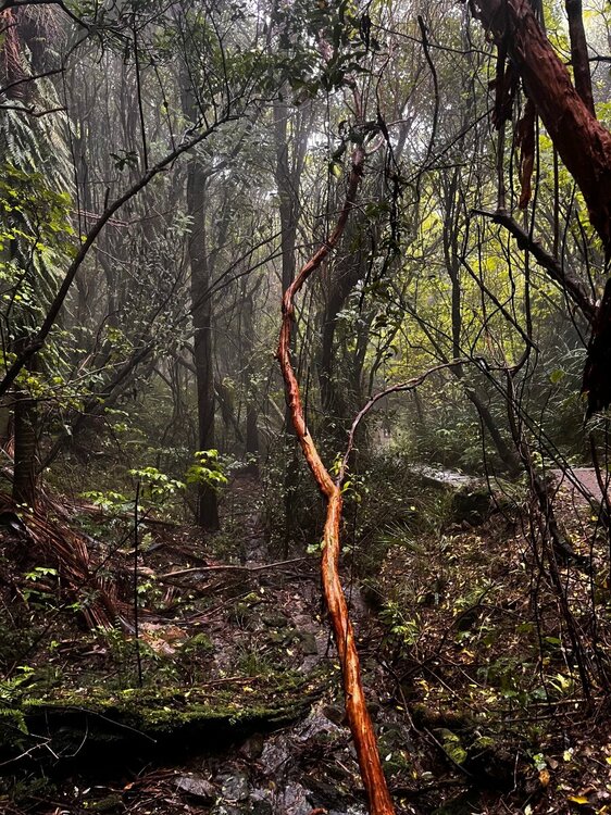
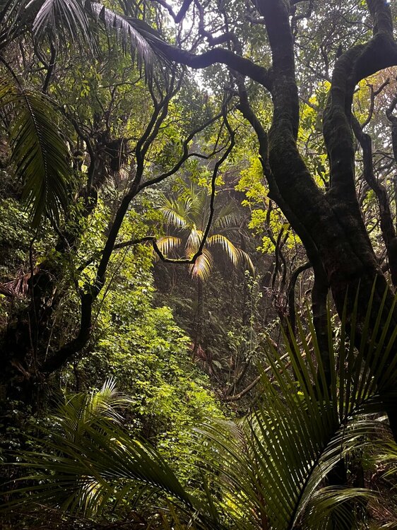
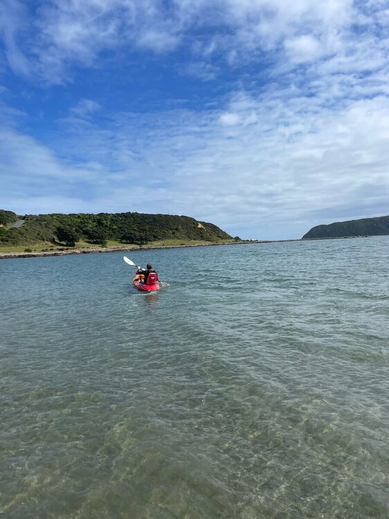
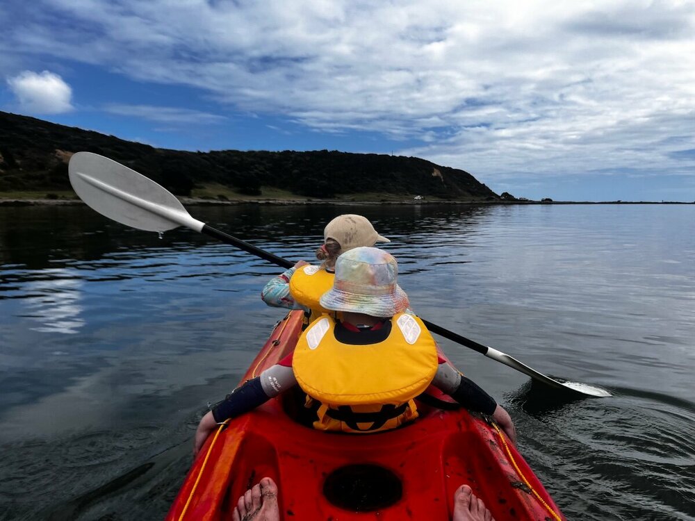
  • Finally made it out on the mountain bike after probably nearly a year and a bit. All the stars aligned which meant I could make it to Makara which is west of Wellington. Good gruelling 1hr long ride u
Posted Images

Featured Replies

  • Author

Great coastal walk today from Downies to Newtonhill.Possible to walk all the way to Stonehaven butt theres a few obstacles if you take the wrong turn. This guy gives a good description of how to do it.  https://britishcoast.wordpress.com/2020/03/11/281-aberdeen-to-stonehaven/

Downies

DSC05789.jpg

Newtonhill beach

DSC05808-2.jpg


Have to watch the locals there though. There's a nice beach at old portlethen too, all on the same route. 

  • Author

Aye,meant to start there but got off a bit late.Will head fae Downies next time,up the way to  Findon as far as you can til the Quarries get in the way. Best time of the year to be doing it too ,since you can wander thru stubble and livestock-less fields if the cliff tops are a bit wet/windy.

   Intending doing most of the N/E coast(done about 1/3) starting fae Johnshaven round to about Findhorn

Edited by Elgindon

1 hour ago, Elgindon said:

Aye,meant to start there but got off a bit late.Will head fae Downies next time,up the way to  Findon as far as you can til the Quarries get in the way. Best time of the year to be doing it too ,since you can wander thru stubble and livestock-less fields if the cliff tops are a bit wet/windy.

   Intending doing most of the N/E coast(done about 1/3) starting fae Johnshaven round to about Findhorn

The beasts are oot at the moment, but more behind the village rather than in front, so the cliff tops should be free. Haven't followed it right to Findon, I've generally just cycled the back roads in that direction. Will have to give it a try sometime.

  • 1 month later...
  • Author

Nothing to add to the fitba thread.Done a few more sections of the coastal route.Newtonhill to Muchalls was a bit dour.Muchalls to Stoney was brilliant.Lots of twists,turns and surprises on the way.

 Also did a section from Catterline to Crawton.Involved a lot of walking on the edge of newly seeded fields.Its possible to walk the outside of the field fences but its a bit rough,pathless and often exposed.Good walk though.Saw a pod of Pilot whales

 Muchalls beach near the railway bridge

DSC05874.jpg

Waterfall at crawton

DSC06098-3.jpg

@Elgindon Do you have a list of mountains that you want to get done this summer? Or do you just go with the flow?

  • Author
8 hours ago, scotfree said:

@Elgindon Do you have a list of mountains that you want to get done this summer? Or do you just go with the flow?

Havent been on the Munros for about a year due to a health issue.Hope to be back on them in the next year 👍

   All the ones left to do are on the West coast.We go with the flow,ie follow the weather

Edited by Elgindon

  • 2 weeks later...
  • Author

Did a wee bit in the middle of the Muchalls to Stoney section that was left to do before the fitba yesterday.Should have carried on walking.....

Near Blackhills farm

DSC06223-2.jpg

Skatie shore below.Noticed this beach last time when I was walking along the cliff top,so had a wander yesterday am.

  Muchalls to Stoney about 4hrs..ish.Or,to break up the walk,theres a bus stop/layby beside Blackhills farm from where you can do a loop to Muchalls or Stoney.If starting from Muchalls,park in the spaces at the bottom(South) end of Marine tce.Walk down the track to under the railway bridge and aim for the coast where youll find the paths.

   Starting fae Stoney,park at the layby as youre coming down the hill off the slip road fae the North,just before the beach caravan park.Theres a path starts at the top end of the layby

DSC06194-3.jpg

Edited by Elgindon

  • 1 month later...
  • Author

Too hot for hills this w/e so we were up at Banff to do the Alvah bridge loop.Never heard of it,but quite an impressive house and gorge. Only thing was,you were nowhere near the river for the vast majority of the walk(all in appx 2.5 hrs).Mountain bike may have been a better option,on fairly flat good tracks most of the way

https://www.walkhighlands.co.uk/aberdeenshire/bridge-of-alvah.shtml

DSC06414.jpg

DSC06409.jpg

Edited by Elgindon

  • 4 weeks later...
  • Author
On 16/04/2022 at 01:49, scotfree said:

@Elgindon Do you have a list of mountains that you want to get done this summer? Or do you just go with the flow?

Not quite up to Munros height this last weekend but visited a fine wee place with good views by going up only a few hundred metres.Any guesses furryboots.first visit for me?

DSC06527.jpg

Edited by Elgindon

7 hours ago, Elgindon said:

Not quite up to Munros height this last weekend but visited a fine wee place with good views by going up only a few hundred metres.Any guesses furryboots.first visit for me?

DSC06527.jpg

Isle of Rum from the Isle of Eigg?

4 hours ago, scotfree said:

Isle of Rum from the Isle of Eigg?

My guess also. 

An Sgurr on Eigg would be my guess as where the photo was taken.

  • 4 weeks later...
  • Author
On 01/07/2022 at 07:30, scotfree said:

An Sgurr on Eigg would be my guess as where the photo was taken.

Off grid a couple of weeks. Pic was taken a couple of miles further North on the island(5miles x 3miles) at the top of this waterfall,behind Laig bay,following pic

DSC06538-2.jpg

DSC06504-2.jpg


    Going back for another visit,hoping to do An Sgurr next time. Good thing about Eigg is there are no car ferries,so you have to walk or cycle everywhere.Most tourists wander round close to the harbour,or climb An Sgurr,then catch the ferry back a few hours later,so if youve a tent plenty spaces to yourselves.

https://arisaig.co.uk/sheerwater-timetable/

https://www.calmac.co.uk/summer-timetable/Mallaig-eigg-muck-rum-canna

Hired an ebike when there - http://www.eiggadventures.co.uk/

  • 2 months later...
  • Author

Coupla days walking on the West coast again.Loch Morar - good path all the way from Bracara,on the North side of the Loch, to Tarbet on Loch Nevis(5.5 miles).Another path from Bracara to Stoul also on Loch Nevis.

  Boat from nearby Mallaig to Tarbet https://westernislescruises.co.uk/knoydart-ferry-timetable/

DSC07038-2.jpg

DSC07045.jpg

  • 3 months later...
  • Author

Decent weather window over New Year on Lismore.Mentioned before,fine wee place for walking/cycling,history.Only 150 residents.Nae pub but summer cafe sells drink

Looking East to the mainland over Loch Linnhe

DSC07304-2.jpg

Walk thru rock on Appin circuit

DSC07331-2.jpg

I always look forward to seeing photos of your jaunts. 👍 

Anyone climbed Slioch? It's a cracking looking climb and one that I regret not getting up. 

  • Author

Aye was up about 5 years ago on a sweaty summer day.Bit of a trek in,but cracking views

Sisters loon leading the way,Slioch on the right

37179101-645506559149652-563791787627171

On the way up

37224906-645508002482841-305239517808715

Summit views


37110382-645509249149383-65289796744275537095872-645509742482667-926224708293099

Edited by Elgindon

  • 2 weeks later...
  • 4 weeks later...

Excuse the thumb on the second, but finally managed to get out on the board today after the weeks’ crazy weather and events. You can see the top of the South Island in the background. Proper nice still day with very little swell 👍 gotta take them when they come in Wellington. Not much to see in the water today, though I did see a massive jelly fish. Was enough to put me off from falling in.

E1F4F801-A685-4A6A-AF49-9CC848C1D140.jpeg

59C5AE89-8A58-4331-9E8F-9539D254C57A.jpeg

  • Author

Stood on the other side of the water(Marlborough sounds) looking towards Wellington a few years ago.The water in between looks horrific. Wouldn't be swimming or sailing in a hurry


6 hours ago, Elgindon said:

Stood on the other side of the water(Marlborough sounds) looking towards Wellington a few years ago.The water in between looks horrific. Wouldn't be swimming or sailing in a hurry


Cook strait in something special, but water where we is, is fine. Apart from the rip, but you learn about that quickly.

  • 2 weeks later...
  • Author

Glen Esk - New playground for the next while.Myriad of paths and tracks for walking and cycling,fine views,very few folk around except if you head to the obvious spots(Loch Lee,Tarfside).

  Downside was finding a number of snares at the edges of some tracks.Assumed these were illegal,but apparently not if premission granted,though the estate I was on(Millden) has previous for dog fighting and raptor capture/poisoning

https://raptorpersecutionuk.org/2022/05/06/millen-estate-angus-glens-gamekeeper-convicted-for-animal-cruelty-in-relation-to-badger-baiting/

  Pics from last nights evening stroll

DSC07426-2.jpg

DSC07455-2.jpg

  • 2 weeks later...

Join the conversation

You can post now and register later. If you have an account, sign in now to post with your account.

Guest
Reply to this topic...

Account

Navigation

Search

Search

Configure browser push notifications

Chrome (Android)
  1. Tap the lock icon next to the address bar.
  2. Tap Permissions → Notifications.
  3. Adjust your preference.
Chrome (Desktop)
  1. Click the padlock icon in the address bar.
  2. Select Site settings.
  3. Find Notifications and adjust your preference.